Surveying
We provide survey data for all places on the ground, underground and underwater.
We are trusted to satisfy our clients’ needs with our years of experiences and knowledges. “Speedy and carefully respond” is our motto and we constantly endeavor to improve our quality of work. We plan survey methods according to the site situation and also our client’s needs. Even at the time of a disaster, we can respond all over Japan and we contribute to each local municipality. We also proactively introduce the latest technology (3D survey instruments) and work to respond to “i-Construction” promoted by Japanese Government.
Services
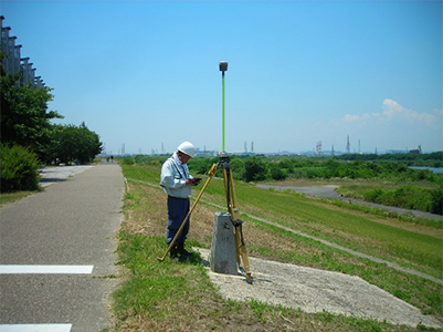
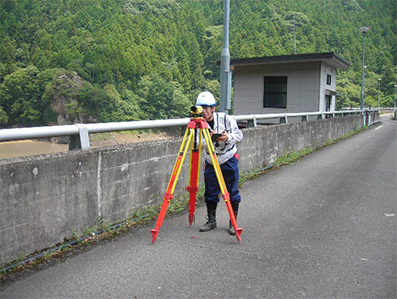
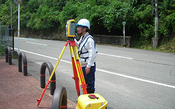
Control Point Survey
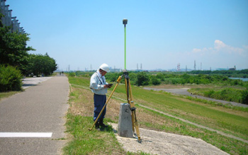
In control point survey, the coordinates and altitudes which are the basis of the survey are calculated with a equipment such as a GNSS survey instrument and total station. There are various observation methods in the control point survey (the static, RTK, VRS and TS method), we can handle with all kinds of methods. We select the equipment to be used depending on the site situation and observation accuracy.
Leveling
Leveling is a survey aimed at giving an accurate altitude by control points. We give altitude to new points by measuring level difference using leveling survey instruments from the bench mark established by the national/local government. It is often used when measurement accuracy in millimeters is required.
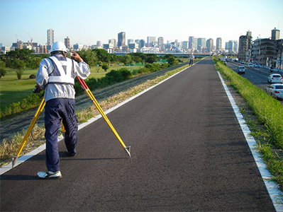
General Ground Survey
In general ground survey, we use data obtained by control point survey and leveling. It is classified into two types: “topographic survey” and “route survey”. Topographic survey uses TS to acquire terrain data. Route survey mainly consists of “linear decision”, “center line survey”, “temporary BM installation survey”, “longitudinal survey”, “cross-section survey” and “side-width stake installation survey” depending on application.
Bathymetry
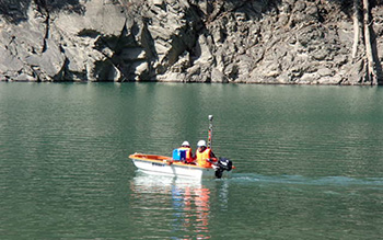
Bathymetry is surveying depth from the water surface to the bottom of the water at a harbor, lake, river, etc. We conduct a wide range of bathymetry with GNSS and remote- control boat. Our own remote-control boat can survey a dangerous area where a survey ship cannot approach leading to risk reduction.
Land Site Survey
We support wide range of surveys from a land site survey accompanying land acquisition of public works to a land sale of general clients, and a boundary confirmation survey due to house construction. Our enrolled land and house investigators also can promptly solve the land site problems and perform various registration procedures related to land boundaries. In case of the on-site attendance at the mountain area, we also accommodate remote-boundary sessions using live-cameras for the people who have difficulties to attend.
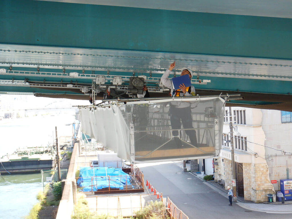
Disaster
For an emergency disaster, we constantly establish a system that can respond to all survey works, and take action promptly and work at the disaster site. We also propose utilization of a wide range of data from disaster survey with our new technologies (UAV, Laser survey etc.).