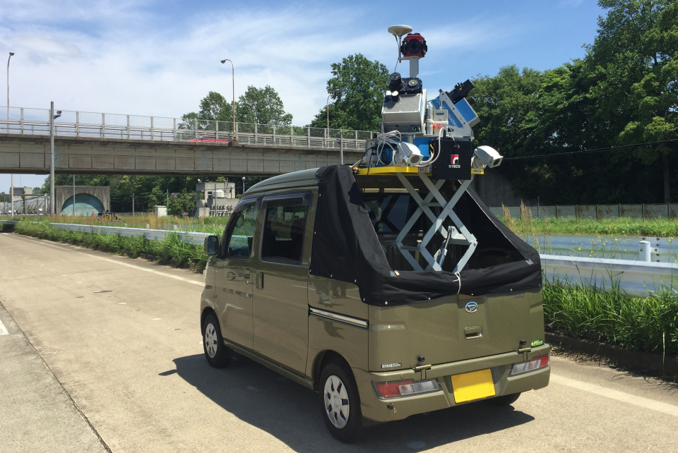
MMS
High precision 3D mobile laser mapping system: “RoadScanner4”and ”StreetMapper360”
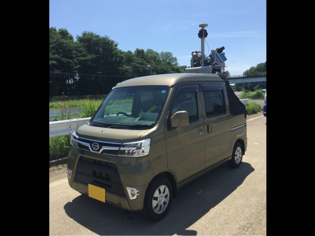
We install equipment, such as laser scanners, GNSS, IMU and a camera, onto a vehicle. While traveling on a road, we can acquire surrounding conditions (ex. road shapes, guardrails, electric poles, lighting lamps, manholes and road markings) with high density and high precision point cloud data. By passing the performance confirmation test of a road surface property automatic measuring device, it can also be used for road surface property survey. It can be flexible on site and can be mounted on a ship/truck.
Features
“RoadScanner4” can capture 2 million points per second and ”StreetMapper360” can survey up to 500m distance. In areas where it is difficult to enter by a vehicle (ex. river, sea, railway track, etc.), it can be mounted onto a ship or trolley. It is possible to verify shape changes due to time by conduction ongoing surveys over many years. Utilizing highly accurate 3D laser point cloud data, it can be converted into a numerical chart or modify an existing diagram that is no longer accurate due to age. By doing this, we can drastically reduce manpower at site.