UAV Laser
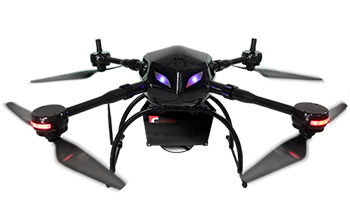
Laser-equipped UAV measurement system: “Air Scanner 1”
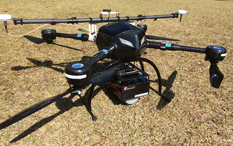
By performing laser survey from the sky, we can acquire ground data from under the trees. It is possible to get ±10cm accuracy without using control points. The survey can be performed regardless of the brightness, and it will not blur like normal photography even in strong winds. It is possible to fly for up to 23 minutes with this system. We provide total support from sales to education/maintenance.
Features
With 3D models generated from photographs, only the surface parts of the grasses and trees can be created. However, with a laser survey, it is easier to acquire structures hidden in the ground and plants by passing through them. By filtering acquired data, we can obtain ground surface data and capture the height of trees, contour maps, and longitudinal/cross sections. We can also grasp the position and range of the banking/cut in advance by overlaying and analyzing the 3D survey data obtained by UAV on the actual situation before construction and the estimated completion data created from the construction scheme drawing.