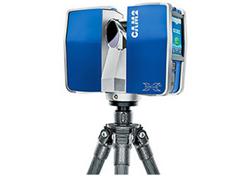
Fixed Laser
A system that acquires colored 3D point cloud data with millimeter accuracy regardless of indoor/outdoor.
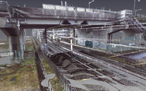
It is possible to measure in a 360-degree area horizontally and 300-degrees vertically. Since the margin of error is only several millimeters, it can be used for surveying any objects and for any purpose. Data surveyed from several places can be easily combined, so it is possible to measure from a narrow range to a large range.
Features
Since it uses a scanner designed to be dust/water-proof, it can work without delay even in a harsh environment. Using internal GPS/GLONASS receiver, it can position measurement point easily. It installs an HDR camera that can handle even different exposure levels, therefore it is possible to acquire colored point clouds with natural color even in the environment with large differences in brightness. The acquired data can be used for checking the buffer of structures by creating topographical maps and longitudinal/cross section views or overlapping point clouds and design drawings.